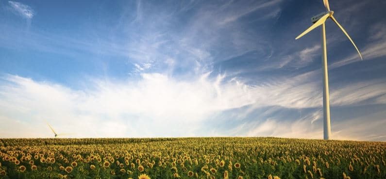
The wind energy sector is on the rise as is all energies included in the field of renewables. Of course, they are tangible benefits for everyone and that from then we must take advantage.
At this point, knowledge, training and digital resources so that our wind farms produce maximum performance. Among all those tools necessary to develop a project, a map to assess wind potential for a certain zone, it is necessary.
As we will see later, we have public access to analyze the resources from a wind map at the level worldwide , another map of the wind potential of Europe , but for Spain (with more precise data – obtaining time series), we had from the IDAE the wind atlas where you can see the zones of winds for power generation That we no longer it works!
We've been a while without resolving this issue in Spain, until now. This week, a new wind map of Spain where we can consult in more detail the wind resources for the Iberian Peninsula.
So let's take a closer look at all the cartography of the potential of energy ecological …
Content menu:
Researchers from CENER (National Center for Energy Renovales) have developed a new online platform for consult the data on wind resources of the peninsula Iberian, at the microscale and mesoscale level.
The new map to see the wind potential of Spain by municipalities, which we can consult from Iberian Wind Map. In reality, the information base and data are from the European project ERA-Net Plus New European Wind Atlas (NEWA), but exposed in a more user-friendly way to understand the wind profile graphs.
In case the user is interested in extracting data from the Spain wind map viewer . The web platform allows downloading time series of wind, temperature, air density and pressure, of a period of 10 years (2009-2018), with hourly frequency and a resolution of 3 km x 3 km.
Along with the time series data, the user you will receive a descriptive report of the weather at the point selected and microscale maps, of different variables weather, georeferenced for the area of interest.
As data of interest, from the Red Eléctrica de España. We can also consult the wind farms of Spain on a map by municipalities. As we see in the next image:
We can access the mapping of wind farms from HERE where there are also other maps to consult about photovoltaic, hydraulic, solar thermal installations, etc
We remind you that we have an article of interest with multiple infographics explaining the operation of the different renewable energies.
As we have commented previously, the European project ERA-Net Plus New European Wind Atlas (NEWA) has long time analyzing the geographic wind potential with successful topography analyzing wind energy in Europe.
For four years with more than 30 partners in the renewable energy and eight countries, have been collaborating on across Europe for the creation of the Wind Atlas European Union that we can consult from HERE.
One of the main objectives of this atlas of the wind has been to develop an online cartography that will be used as a standard to evaluate the conditions of wind in Europe.
To analyze the characteristics of the wind and its resources at a global level, we have to go to the famous Global Wind Atlas . A publicly accessible web-based online application where we can identify the wind zones for the generation of wind power virtually anywhere in the world world, and then perform the preliminary calculations.
We can access the map from Global Wind Atlas where find a visualization like the following image…
The map provides a downloadable data set based on modeling technologies and methodologies. In addition, users can download the maps in high resolution of the energy potential wind power for use in GIS tools, both globally and by country.
Wind power activity in Spain has an important weight in worldwide in the renewable energy sector, we are one of the main exporting countries of wind turbines in the world. We must not waste this opportunity in the face of possible new projects in the territory.
Of interest, on the subject of cartography, we have a article on how to create a 3D virtual map of any municipality and an online map generator to create sketches of streets in the schematic style.
If you liked the article, rate it and share!